
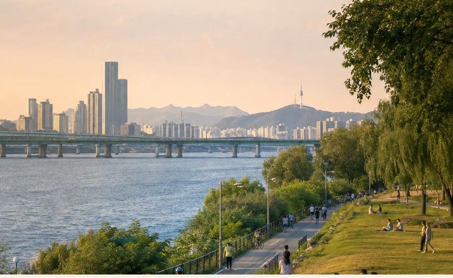
A different city above the streets.
Four ways to start, from a gentler forest loop to a demanding mountain day. Choose the whole journey, including the approach and the walk back down.
- Match the route to fitness, weather and remaining daylight.
- Save the route offline and decide a turnaround time.
- Check official access and closure notices before setting out.
Start gently. Or follow the wall.
A short distance on a city map can still involve steep approaches, steps or exposed rock.
Ansan Jarakgil
- The official route is a 7 km circular, mostly decked forest trail. Walk a shorter section and retrace your steps if preferred.
- Dongnimmun, Hongje or Sinchon are approach options; use the official access guide to choose the entrance.
- The trail is described as barrier-free, but station approaches can be steep. Plan the entire wheelchair or stroller journey.
Inwangsan city wall
- Donuimun Gate site to Changuimun Gate: 4 km, about 2 hours 30 minutes in the official route description.
- Seodaemun Station, Line 5, Exit 4 is close to the Donuimun start. Plan a separate journey home from Changuimun.
- Allow extra time for stops. Choose dry conditions and avoid slippery rock, especially in winter.
Two very different mountain days
Start early. Add distance only while energy, daylight and conditions allow.
Achasan
- Start from the Ecological Park side and follow the signed route towards the fortress and viewpoints; return the same way.
- Achasan Station, Line 5, Exit 2 is about 1 km from the park; Gwangnaru Exit 1 is another approach.
- Allow roughly 2–3 hours for a modest outing. This is the PDF's editorial planning allowance, not an official route time.
Bukhansan
- Baegundae reaches 836.5 m. The official Baegundae–Ui Gugok circuit is 9.98 km, rated advanced, with a listed average of 4 hours 20 minutes.
- Give it a full day including access, rests and a safety margin. Bukhansan Ui Station is a useful starting point; the hiking centre is not the trailhead.
- Steep rock, handrails and queues can slow progress. First-time hikers should choose a lower marked route or seek guidance.
Pack for the walk back down
A popular city mountain still deserves preparation.
Check the day
- Read weather, air-quality and trail-closure notices.
- Avoid exposed ridges in thunderstorms and slippery rock after rain or ice.
- Respect barriers and turn back when conditions change.
Carry the basics
- Grippy footwear, water, food, layers and rain protection.
- Charged phone, offline route, power bank and small first-aid kit.
- Torch for delays; plan to finish in daylight.
Seoul Hiking Tourism Centers operate at Bukhansan, Bugaksan and Gwanaksan. Check rental eligibility, reservations, closing days and return times at seoulhiking.or.kr. In an emergency call 119 and give the mountain, trail or rescue-marker number and your location.
Adapted from the digital edition revised 3 October 2026. Individual PDF pages retain their own source-review dates. Not independently verified — confirm official requirements before acting.